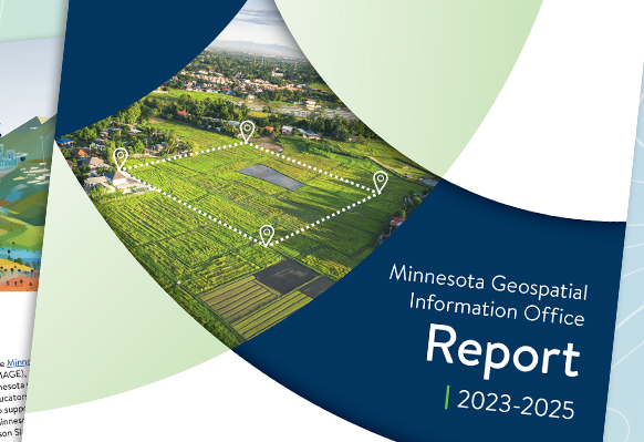
MnGeo's Annual Report
MnGeo continues to make strong progress on its main priorities:
- Improve access to statewide foundational spatial data
- Lead coordination and communication for Minnesota's spatial community
- Provide outstanding technical support for statewide spatial technologies
Learn about our collaborative efforts and a wide range of projects including:
- Lidar
- Aerial imagery
- Public Land Survey System Grant Program
- Next Generation 911 GIS data preparation
- Minnesota Statewide Historic Inventory Portal
2023-2025 Report
Past Annual Reports
Explore past reports to learn more about our scope of work and progress over time:

