2018 Governor's Commendations
Two Minnesota Governor's Geospatial Commendation awards
were
presented at the
GIS/LIS
Conference in Duluth, Minnesota, October 4, 2018.
Minnesota Historical Aerial Photographs Online
 |
| Dan Ross (MnGeo) presented the award to Ryan Mattke (Borchert Map Library) |
The John R. Borchert Map Library at the University of Minnesota has done an exceptional job of preserving and providing access to historical aerial photography of the state. Its Minnesota Historical Aerial Photographs Online (MHAPO) website continues to pioneer access to aerial photograph collections. MHAPO's 270 different sets of historic photos are scanned and geo-located, range from 1923-1991 and cover Minnesota's 87 counties. Users can search by geography and time period, can orient themselves using current imagery, and can view and download the photos. A separate Twin Cities Aerial Photo Mosaic application helps users compare aerial views of 1955 and 1966.
The library is collaborating with multiple government agencies to preserve
their photography collections and share these collections with the public; providing online
access allows the library to serve far more people than can visit in-person.
Seven letters of support in the nomination describe compelling uses of these historic photos to
benefit the people and environment of Minnesota.
For more information, see:
Minnesota Geospatial Commons
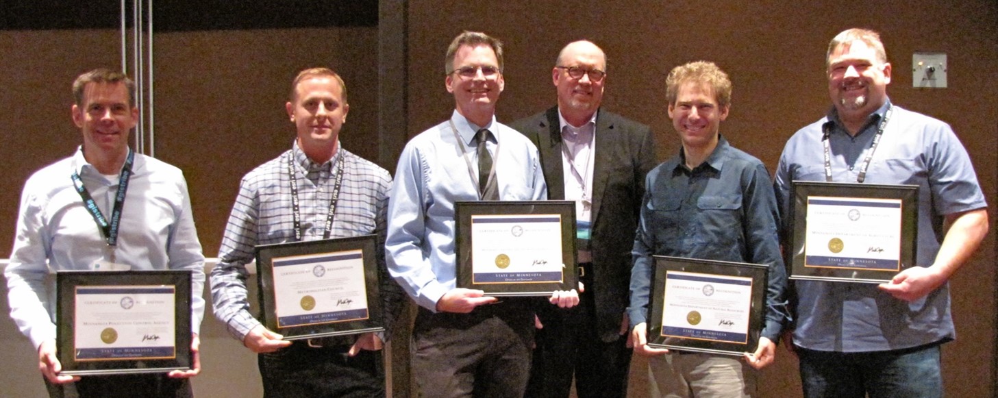 |
| Dan Ross presented the award to representative members of the Commons team (L-R): David Fawcett, MN Pollution Control Agency; Jon Hoekenga, Metropolitan Council; Mike Dolbow, MnGeo; Zeb Thomas, MN Dept. of Natural Resources; Erich Borchardt, MN Dept. of Agriculture. |
The Commons is a collaborative public website where anyone interested in Minnesota can access hundreds of geospatial resources including data, metadata, maps, services and applications. The Commons serves as Minnesota's focal point for this data, so users can go to a single place to search for resources published by state, regional, county, academic and nonprofit organizations. By providing a pre-built data distribution site, the Commons has provided incentive for a number of local governments to adopt open data policies.
The Commons was envisioned and defined in concept by a collaborative, multi-sector group representing the Minnesota geospatial community. It was implemented by a multi-agency group at the state level and replaces many earlier data distribution sites. Governing principles emphasize quality and clarity over quantity.
The true value of data is derived from its use. Making authoritative, well-documented data easily discoverable in a single place for Minnesota ensures that data use is maximized, providing an exponential return on investment for data creators, data consumers, and ultimately for the citizens of Minnesota. Six letters of support in the nomination help document the impact of the Commons on both data publishers and users.
The award was presented to the five agencies that have been instrumental in creating and maintaining the Commons, but credit is also due to the additional publishers whose contributions make the Commons a richer source of data. The five agencies are:
- Minnesota Department of Natural Resources
- Minnesota Geospatial Information Office
- Metropolitan Council of the Twin Cities
- Minnesota Pollution Control Agency
- Minnesota Department of Agriculture
For more information, see: