2019 Governor's Commendations
Two Minnesota Governor's Geospatial Commendation awards were presented at the GIS/LIS Conference in St. Cloud, Minnesota, October 3, 2019.
Mapping Prejudice Project
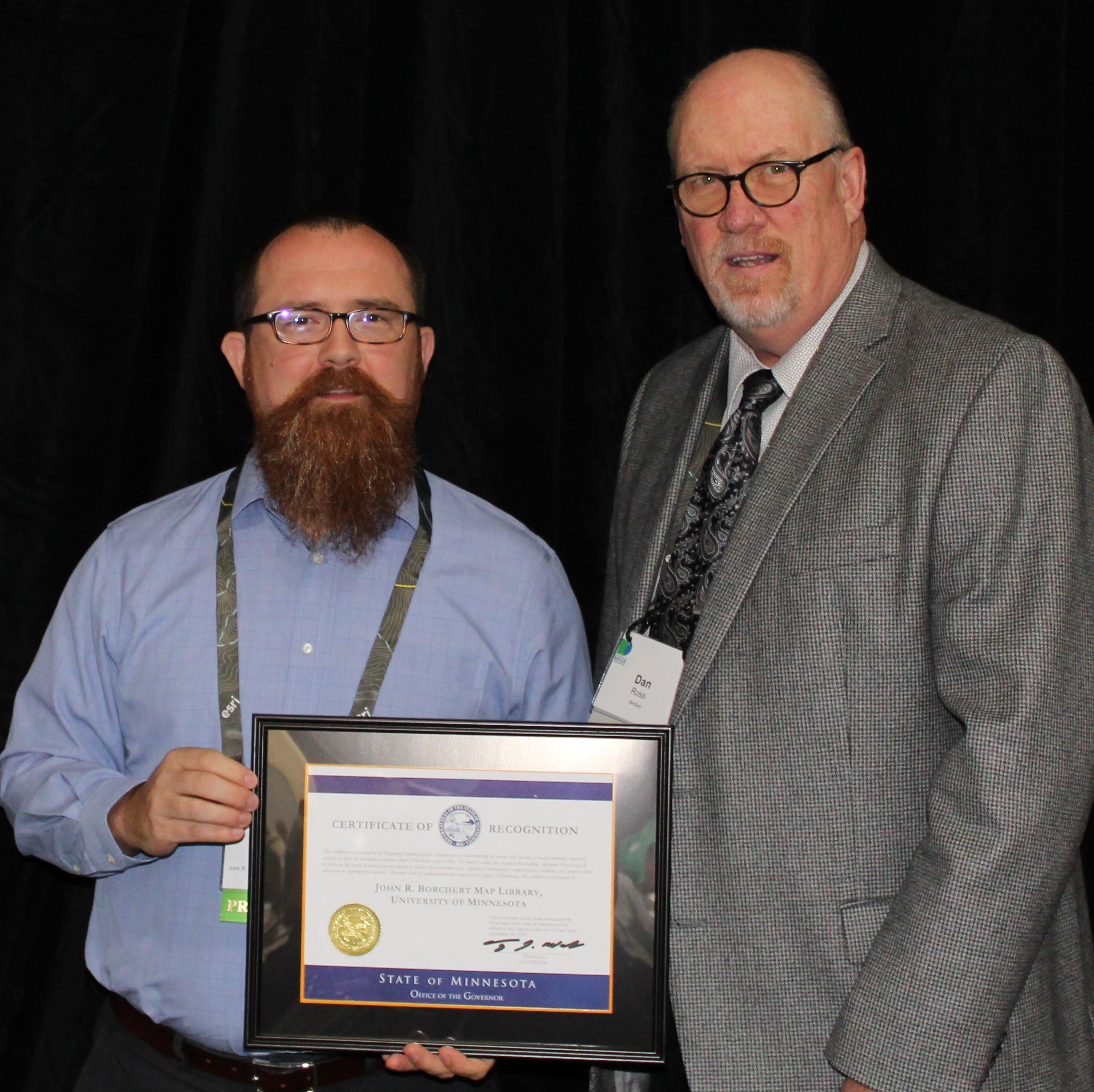 |
| Ryan Mattke accepted the award on behalf of the project team from Dan Ross (State of MN CGIO) |
The Mapping Prejudice project is documenting the nature and location of racial covenants that were inserted in deeds for residential properties from 1910 to the early 1950s. The project's work inspired the drafting and supported the passage of bi-partisan legislation to allow property owners to declare these covenants void, influenced Minneapolis' comprehensive planning, and has sparked wide discussion on righting past injustice. The award recipients below were instrumental in driving this project, and credit is also due to the thousands of project contributors.
- John R. Borchert Map Library, University of Minnesota (Ryan Mattke, Project Co-Director)
- Kirsten Delegard, Project Director
- Penny Petersen, Project Records Specialist
- Kevin Ehrman-Solberg, Digital and Geospatial Director
For more information, see:
Minnesota Wetland Inventory Project
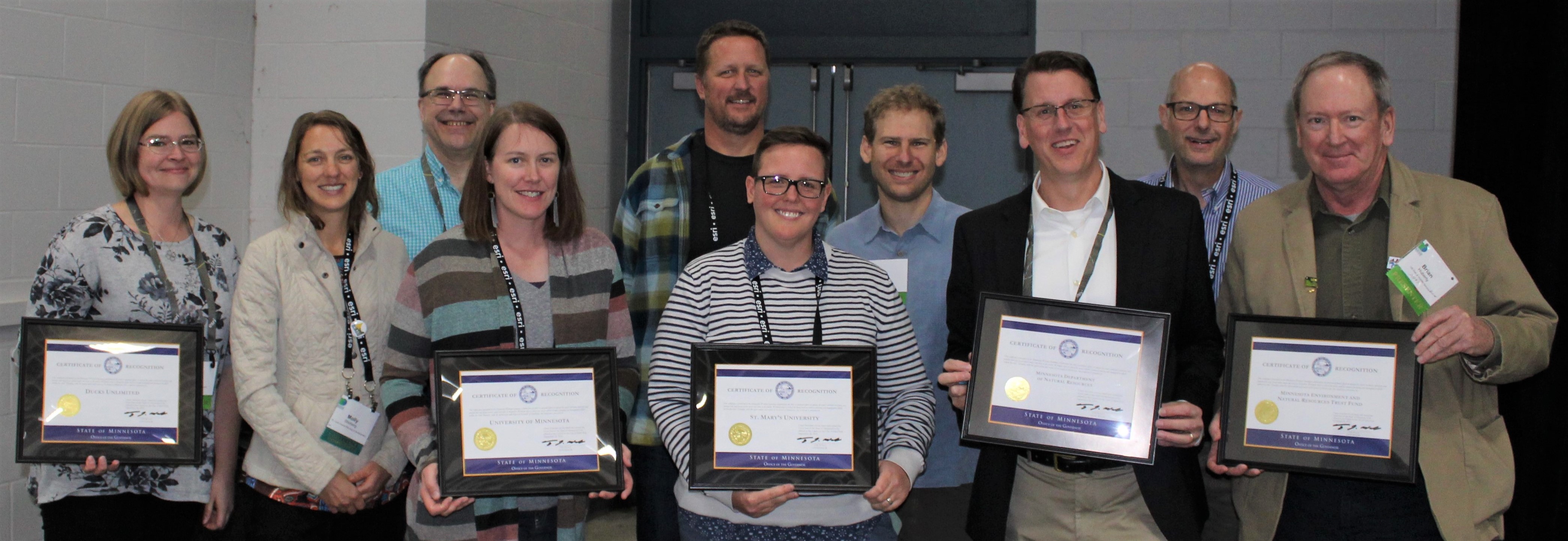 |
| Representatives of the wetland update project team accepted the award (L-R): Jennifer Corcoran, DNR; Molly Shoberg, St. Louis County; Jim Krumrie, MnGeo; Andrea Bergman, MNIT DNR; Mike Tronrud, MNIT DNR; Jessica Shuler, MNIT DNR; Zeb Thomas, MNIT DNR; Steve Kloiber, DNR; Hal Watson, MNIT DNR; Brian Huberty, US Fish & Wildlife Service. |
This project was a collaborative effort to update the mid-1980s National Wetland Inventory data. The project re-mapped and classified all wetlands greater than 1/2 acre, developed new methods to integrate lidar data, acquired new spring aerial imagery, engaged local stakeholders to review results, and provided wetland data and maps to the public.
The award was presented to the five organizations below that were instrumental in the project; credit is also due to many others listed in the nomination who contributed to the project's success.
- Minnesota Department of Natural Resources (project oversight, coordination and quality control)
- Minnesota Environment and Natural Resources Trust Fund ($7 million)
- University of Minnesota (methods development and validation)
- St. Mary's University (mapping)
- Ducks Unlimited (mapping)
For more information, see: