Original Public Land Survey Plats of Minnesota
 Minnesota’s original Public Land Survey plats, housed at the Minnesota
Historical Society, were created between 1848 and 1907 by the U.S. Surveyor General’s Office. These records, derived from the original field surveys, established
the Public Land Survey System (PLSS) in Minnesota, a standardized grid that enabled the orderly sale and settlement of land across the state.
Minnesota’s original Public Land Survey plats, housed at the Minnesota
Historical Society, were created between 1848 and 1907 by the U.S. Surveyor General’s Office. These records, derived from the original field surveys, established
the Public Land Survey System (PLSS) in Minnesota, a standardized grid that enabled the orderly sale and settlement of land across the state.
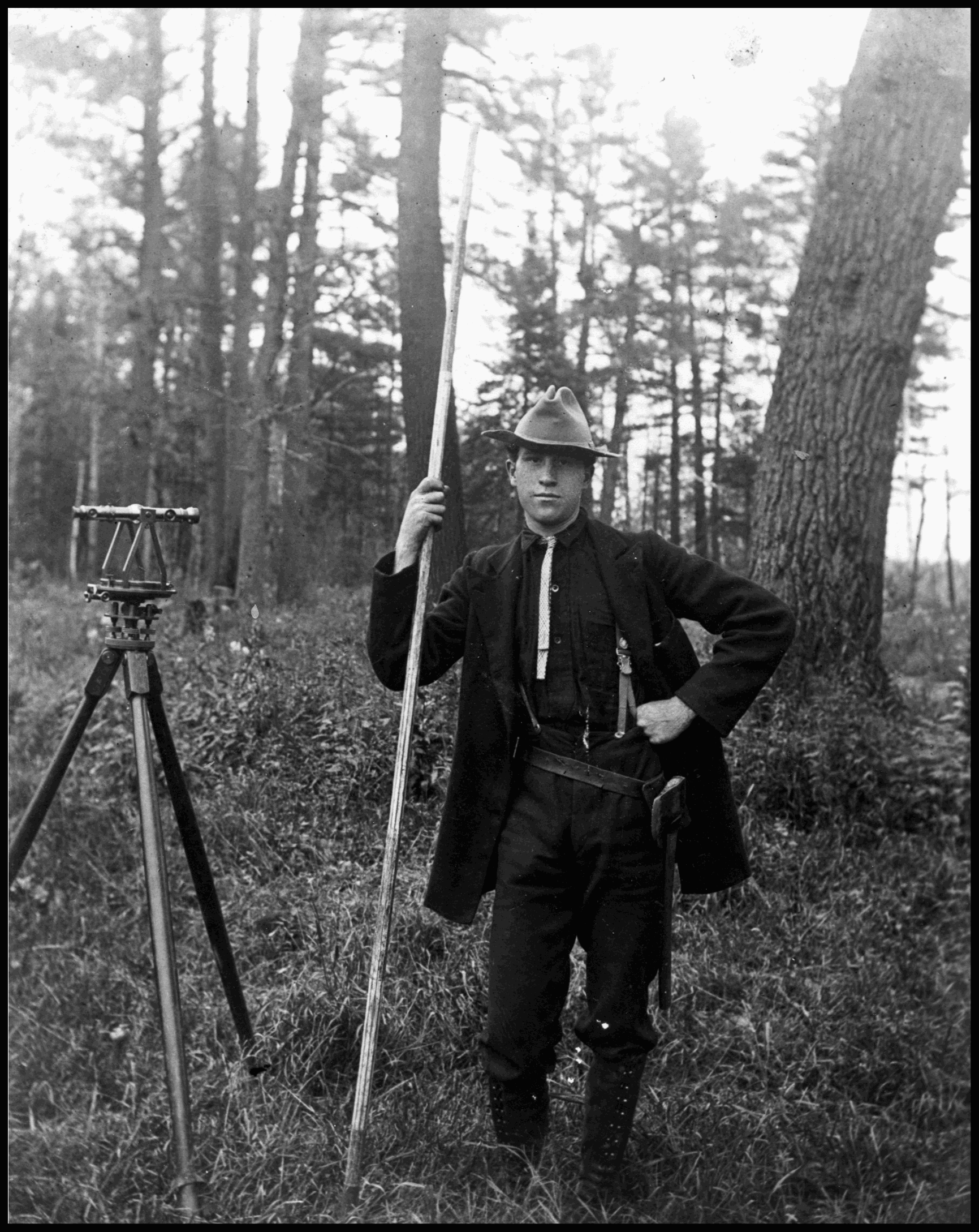
The collection includes more than 3,600 maps, along with subsequent General Land Office (GLO) and Bureau of Land Management (BLM) plats, documenting the evolution of Minnesota’s land survey framework.
These plats document the foundation of land ownership in Minnesota – every property boundary and legal description traces back to this system. They also provide critical insight into the state’s pre-settlement landscape. Today, the PLSS remains integral to land management, mapping, and GIS.
To preserve these records and expand access, the plats have been digitized and are available for public viewing and download through the GLO Historic Plat Map Retrieval System referenced below.
View or Download the Plats
- GLO Historic Plat Map Retrieval System
- View the collection
- Download by county
- Learn about the history and origin of the maps and see a glossary of terms
- Find instructions to download, view and print the plats
- Contact information
- Two web service options exist to view the plats as a seamless layer in GIS or CAD software:
- ArcGIS Server Map Image Layer Service:
https://feat.gisdata.mn.gov/arcgis/rest/services/MnGeo/MN_GLO_Plats_cached/MapServer- Related resources: Use map image layers, ArcGIS map service basics
- Web Map Service (WMS):
https://feat.gisdata.mn.gov/arcgis/rest/services/MnGeo/MN_GLO_Plats_cached/MapServer/WMSServer- Related resources: How to use a WMS service, WMS documentation