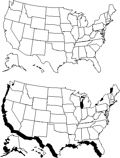
Basic United States Maps
The maps downloadable from this page are not meant for use in a
geographic information system. They are meant for use in word processors,
computer presentations and graphic programs. There are a number of formats which you should be able
to import into your program as a file, picture or piece of clip art. All
the images have been compressed using the shareware program PKZIP.
|
EPS files 258K |
|
Freehand
version 4.0 146K Freehand version 7.0 151K |
|
WMF files 747K |
|
Other files 1020K |
|
72 dpi images
25K 200 dpi images 90K 300 dpi images 150K 600 dpi images 371K |
The filename for this image will be called MN.xxx
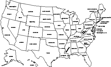
The filename for this image will be called US.xxx
The filename for this image will be called USMAPS.xxx