

Geospatial Information for Minnesota
Find GIS Data
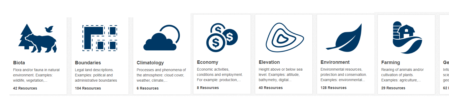
The Geospatial Commons is a one-stop catalog for Minnesota featuring open data which can be added to your maps and research projects. Easily searched or browsed by contributing organization or theme, the Commons is steadily adding new resources.
MnGeo has a team of skilled system architects, developers, cartographers, and project managers who can assist your organization create mapping software, integrate GIS into your business processes, and leverage your own staff's skills.
MnGeo, through the Minnesota Geospatial Advisory Council and its committees, leverages the talents and passion of the state's geospatial community to forge policies, create standards, and ensure that our state maximizes its potential in using GIS to solve problems.