Aerial Photography of Minnesota
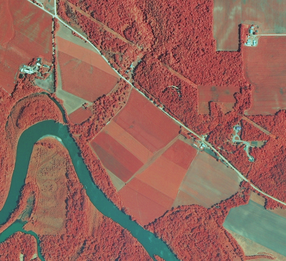
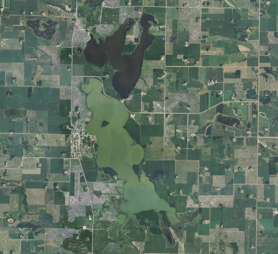
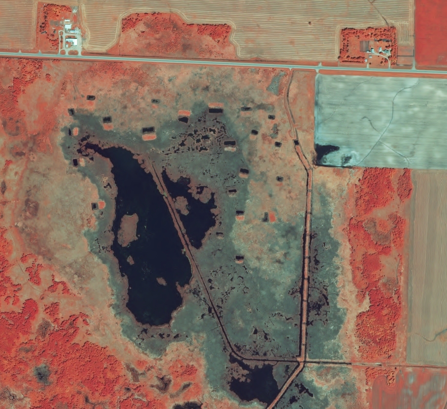
Digital aerial photography covering Minnesota has been collected since the late-1930s by federal, state, and local governments and by private companies. A great deal of this imagery can be viewed and/or downloaded online. Click on the links below for information about recent digital aerial photography acquisitions, and guidance on how to find, view, download, and use them.
Most requested:
- Minnesota Geospatial Image Service (air photos and more, available using a Web Map Service)
- Summer FSA NAIP imagery (available via the image service)
- 2020 Spring Twin Cities metro imagery (available via the image service; more recent, higher resolution imagery is available for select Metro counties)
- Spring Aerial Imagery Program for Minnesota
Not sure where to start?
If you know of other publicly available air photo sources, please let us know: gisinfo.mngeo@state.mn.us


