Spring Aerial Imagery Program for Minnesota (SAIP): 2009-2014
Spring Imagery Home |
Northeast |
East-Central |
South |
Central and Northwest
 The goal of the Spring Aerial Imagery Program
was to acquire
4-band leaf-off imagery statewide.
The goal of the Spring Aerial Imagery Program
was to acquire
4-band leaf-off imagery statewide.
The State of Minnesota provided funding through the
Environment and
Natural Resources Trust Fund for a phased update of the National Wetland
Inventory. Under the direction of the DNR, this effort requires up-to-date,
spring leaf-off, natural color and infrared aerial photography. The State
collaborated with partners to leverage
this funding in order to acquire higher-resolution imagery in many areas.
- Program update, 9/15/14 (PDF)
- Map of flight schedule
- Program brochure (PDF)
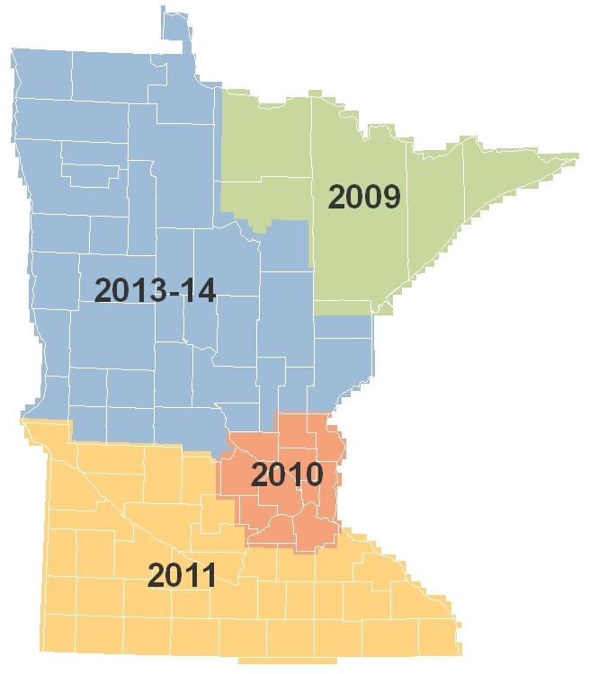
| Region | Year Flown |
| Northeast | 2009 |
| East-Central | 2010 |
| South | 2011 |
| Central and Northwest | 2013-14 |
Return to MnGeo's first-stop
Aerial Photography page